Part 01 / Research & Whitepapers

Autonomous flight.
Intelligent observation.

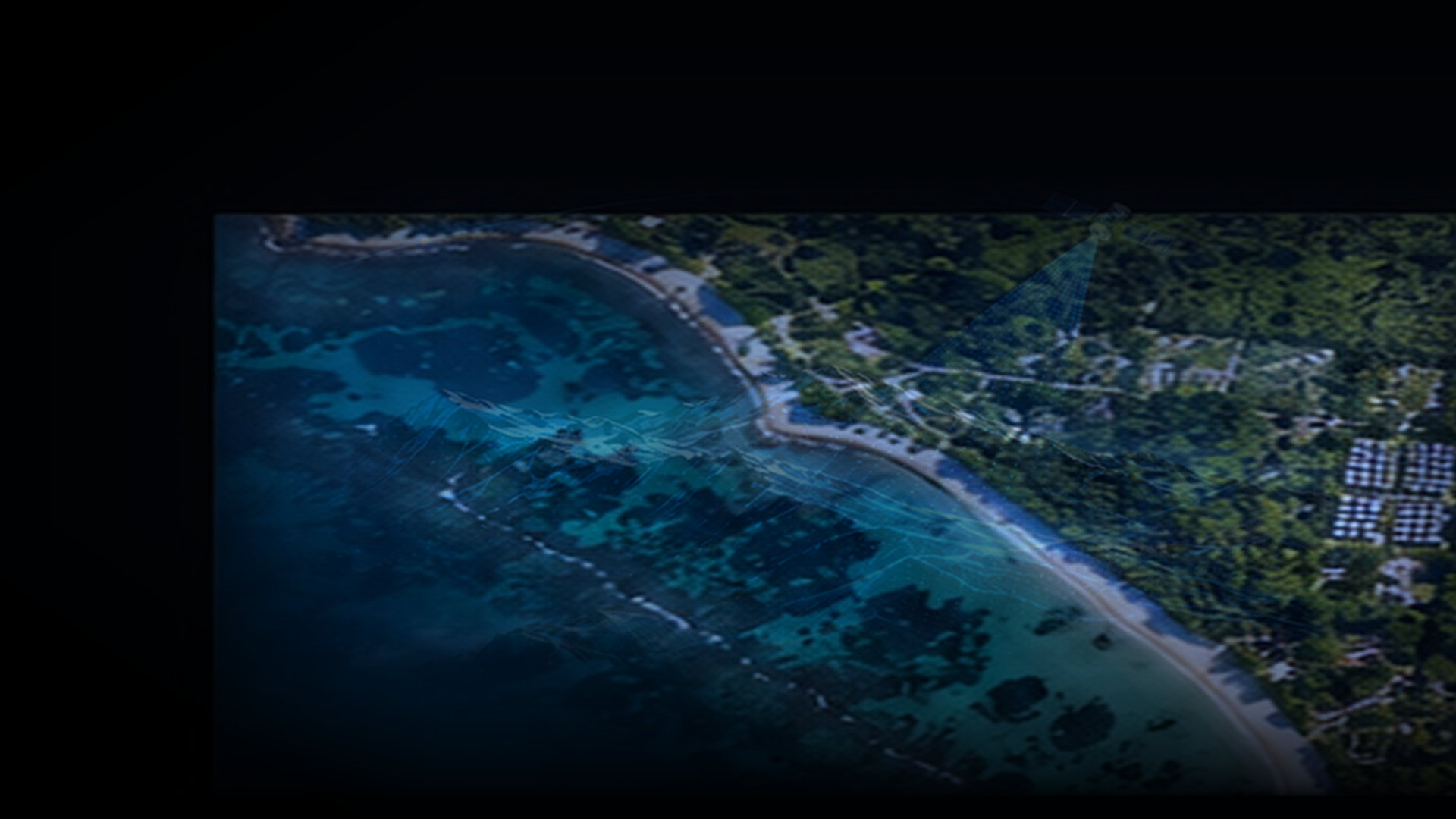
Our research lab focuses on practical problem statements encountered in coastal, industrial, and high-interference flight corridors.

Autonomous aerial navigation research
Working Paper · R&D Drony Research Lab

Low-Altitude Autonomous Navigation in GPS-Degraded Coastal Environments

Evaluating Visual Inertial Odometry (VIO) fallbacks and multi-sensor fusion when standard GNSS signals suffer from multipath degradation near high-metallicity port cranes and coastal cliffs.


VIO Odometry GNSS Resilient Kalman Filtering
AI computer vision payload research
Computer Vision · AI Whitepaper 2026

Real-Time Surface Anomaly Detection Using Lightweight Neural Edge Payloads

Benchmarking sub-10ms quantized convolutional architectures running on airborne compute units to identify micro-cracks and structural corrosion during high-speed fly-bys.

YOLO Quantized Edge Inference Defect Mapping
Long-range drone telemetry research
Telemetry · Mesh Technical Brief

Resilient Multi-Hop Drone Mesh Networking for Disaster Response Mapping

Architectural proposal for rapidly deployable self-healing radio frequency relay mesh topologies enabling high-throughput video telemetry during infrastructure disruption.

Mesh Topology COFDM Radio Disaster Response
Part 02 / Technical Concepts

The physics & math
of aerial precision.

Demystifying the foundational technical concepts used by engineers, surveyors, and creative directors to evaluate drone workflows.

Ground Sampling Distance mathematical formula and explanation
Geodesy · Photogrammetry Concept 01

Ground Sampling Distance (GSD) Math

GSD represents the real-world distance between the centers of two consecutive pixels. Calculated as: GSD = (SensorWidth × FlightAltitude × 100) / (FocalLength × ImageWidth). A 1 cm/px GSD means one image pixel covers a 1 cm square on the ground.

Spatial Resolution Sensor Geometry Optics
RTK vs PPK GPS drone positioning comparison
GPS Positioning Concept 02

RTK vs. PPK: Precision Tradeoffs

Real-Time Kinematic (RTK) corrects satellite positioning data on the fly via a base station radio link. Post-Processing Kinematic (PPK) logs raw GNSS observations and matches them afterwards, eliminating signal dropout risks in complex terrain.

Centimeter Accuracy Base Stations Correction Signals
LiDAR laser scanning versus photogrammetry
Remote Sensing Concept 03

LiDAR vs. Photogrammetry

Photogrammetry constructs 3D point clouds through parallax algorithms from overlapping high-res photos (ideal for visual realism and surfaces). Airborne LiDAR pulses millions of laser beams that penetrate forest canopies to sample ground terrain underneath.

Point Cloud Canopy Penetration Elevation Models

Interested in academic or technological collaboration?

We partner with research institutions, industrial labs, and defense specialists.

Contact Research Team