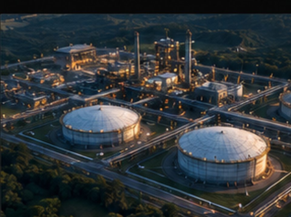
 01 / INDUSTRY
Industrial Perspective
Site and asset visual documentation, infrastructure imagery and repeatable progress reporting for complex environments.
Discuss a projectHigh-impact aerial perspectives for industrial assets, complex sites and critical infrastructure documentation.
Explore services







We see more than what meets the eye. Drony Aerials brings together visual storytelling and technical aerial workflows to make complex places, projects and environments easier to understand.
Headquartered in Mangaluru and delivering missions nationwide since 2019, we bring the right perspective to every engagement—from immersive cinematography to industrial visual documentation and geospatial imaging—shaping outcomes around what matters most.
No two missions are identical. Our curated solution families help you start quickly, then refine the scope, deliverables and workflow around your actual requirements.
01 / INDUSTRY
Site and asset visual documentation, infrastructure imagery and repeatable progress reporting for complex environments.
Discuss a project 02 / CREATIVE
Aerial films, photographs and FPV experiences that give brands, properties and destinations a memorable point of view.
Discuss a project 03 / GEO
Small-area photogrammetry, orthomosaic imagery and GIS-ready visual context for planning, monitoring and communication.
Discuss a projectExplore the four directions that define our present capabilities and our future ambitions.
Visual information that helps teams document, communicate and monitor industrial environments—with deliverables suited to the scope.
Plan an industrial projectDistinctive visual production for stories, spaces and campaigns—crafted to engage an audience and communicate scale.
Plan a film or shootUseful site-context information from aerial imagery. Deliverables and accuracy expectations are always agreed before work begins.
Discuss a mapping requirementExploring the future of aerial observation, remote sensing, mission-support systems and intelligent drone technology through active R&D and specialist collaboration.
Discuss a research partnershipOur portfolio brings together approved aerial films, industrial documentation and mapping outcomes across India. The official aftermovie and showreel can be embedded dynamically above.
We believe in transparent technical knowledge, rigorous flight planning, and continuous engineering innovation. Explore our dedicated content streams.
Real-world missions across industrial facilities, infrastructure corridors, and high-energy cinema shoots across India.
Explore Case Studies PERSPECTIVESIn-depth commentary on DGCA commercial regulations, drone technology trends, airspace safety, and visual storytelling.
Read Articles R&DExploratory studies in autonomous aerial observation, computer vision sensor payloads, and mission-support architectures.
View Research Papers TECHNICALClear explanations of Ground Sampling Distance (GSD), RTK/PPK accuracy, LiDAR vs photogrammetry, and 3D point clouds.
Explore Technical ConceptsBased in Mangaluru, Karnataka · Delivering drone solutions, site intelligence and aerial production across India.
Tell us what you're working on. We'll help identify the right capture, documentation or mapping approach for your project.